Ecuador creates mangrove warning system
A community-based early warning system for Ecuador's mangroves, integrating satellite alerts with ground monitoring, is being developed by CIIFEN for the
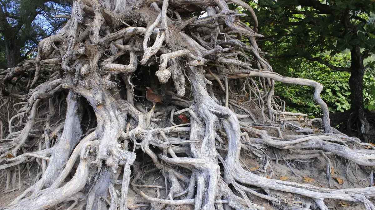
Ecuador is developing a community-based early warning system to protect its mangrove forests, which cover approximately 1550 km². The system integrates satellite data from Global Mangrove Watch with field monitoring by local custodians and is expected to be available by the end of this year, according to a report from Wetlands International.
Since 1970, Ecuador has lost nearly 30% of its mangroves. Historical loss was linked to shrimp farming expansion and land conversion, particularly when environmental planning was less developed. Pollution and climate change have added further pressure.
Legal framework and enabling conditions
Ecuador possesses a strong legal framework for mangrove protection. Its Constitution, the Organic Environmental Code, and multiple decrees restrict clearing, require restoration, and enable community stewardship. These laws support the country's national climate commitments and 30x30 conservation goals.
The Ecuador chapter of the Global Mangrove Alliance (GMA) is supporting this community-based work. Last year, it won a USD 1.5 million grant. A key deliverable is the development and implementation of the community early warning system.
How the early warning system works
The Centro Internacional para la Investigación del Fenómeno de El Niño (CIIFEN) is building the system with four pilot Custody and Sustainable Use of Mangrove Agreements (AUSCEMs) in the Gulf of Guayaquil. Mangrove custodians conduct field-based monitoring, supported by digital tools for reporting and coordination.
Global Mangrove Watch (GMW) provides satellite-based information to support monitoring. Crucially, custodians will ground-truth and validate Mangrove Disturbance Alerts (MDA) from the satellites. Sebastián Rivera Ruano, a developer on the project, stated the goal is to create a "two-way street" where communities access GMW data and GMW benefits from community insights.
A mobile and web application under development will integrate these MDA alerts. It aims to optimize incident monitoring and reporting for Gulf of Guayaquil communities. Pier Luiggi Maquilón Lipari, a Climate Services Developer at CIIFEN, emphasized that effective systems require more than technology. "Protocols and coordination between stakeholders are of critical importance such that timely and coordinated action can be taken," he said.
Community and government engagement
There is keen interest from the Ecuadorian government, particularly the Undersecretariat for Marine, Coastal and Oceanic Affairs. Historically, Global Mangrove Watch data was used to validate government data on national mangrove extent.
Ecuador has a long history of community-based mangrove management through AUSCEMs and the Socio Manglar program. This nationally embedded incentive program channels public and donor finance into conservation, restoration, and improved livelihoods for traditional users. Mangroves have historically provided crabs, black-shelled cockles (conchas negras), timber, and coastal protection from storms and sea-level rise.
Elba Alissie Fiallo Cobos, Coastal Marine Strategy Coordinator for TNC Ecuador, noted some of the most useful GMW information includes data on mangrove blue carbon and climate policies. She said TNC Ecuador promotes collaborative work among communities, government, academia, and the private sector for sustainable development models that benefit both conservation and human well-being.
To ensure successful implementation, a series of in-person trainings and video tutorials will accompany the system's release. This aims to build capacity and empowerment within the communities who will use it.