AI tree species mapping boosts urban climate
Researchers have used AI to identify urban tree species from satellite and aerial imagery, enabling cities to make reforestation choices that improve
Researchers have used satellite imagery, aerial photos, and deep learning to map urban tree species and link them to environmental stressors and pollinator habitat suitability. The technology, developed by VUB researcher Robbe Neyns, identifies trees down to the species level. This allows cities to better understand which trees thrive where under a warming climate and what role they play for other species, moving beyond simply counting greenery.
Existing urban tree inventories are often incomplete or outdated, and ground-based identification is labour-intensive. The new AI method was applied to the Brussels-Capital Region, using satellite images from different seasons and highly detailed aerial photographs. Deep learning trains the system to recognise different tree species from these images. By combining the resulting tree map with environmental factors and observations of bee nests, researchers predicted suitable city habitat for the wild bee Andrena vaga.
Application
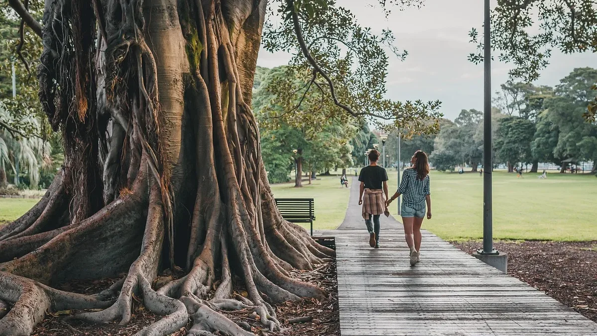
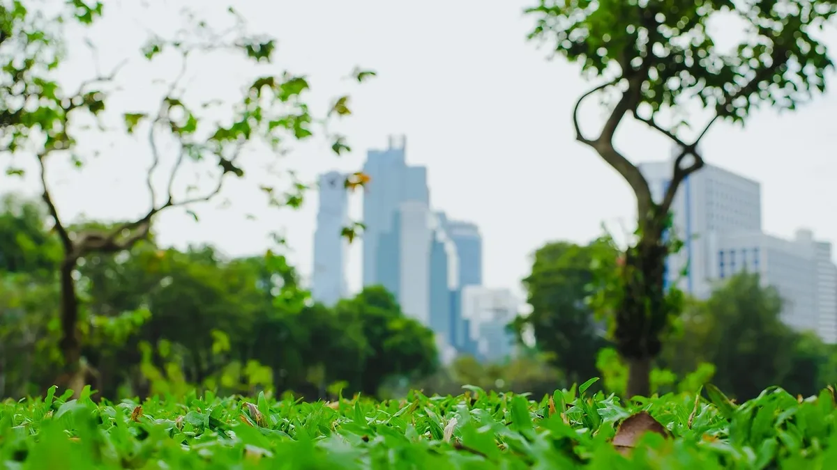
The technology enables cities to make informed reforestation decisions by identifying which tree species are best suited to specific urban conditions and ecological roles. Cities engaged in large-scale reforestation to combat climate change now face a critical choice: not only how many trees to plant, but which species to plant where. This is vital information for urban areas planting trees as a safeguard against increasingly hot summers. Trees provide essential shade and cooling, filter air pollution, and serve as habitat and food sources for animals.
Research Focus
The study examined how urban heat, pollution, and paving affect tree growth cycles and mapped willow trees to support habitat modeling for the wild bee Andrena vaga. In Braunschweig, Germany, Neyns specifically mapped willow trees for research into Andrena vaga, a wild bee heavily dependent on willows for pollen. He linked tree species data to urban heat, air pollution, and paving to investigate the impact these stressors have on the annual growth cycle of different trees. The research demonstrates how this approach can reveal species-specific responses to climate change.
Researcher Background
Robbe Neyns, a researcher at the Free University of Brussels (VUB), developed the method as part of his PhD work. He studied Geography at VUB and Artificial Intelligence at KU Leuven, beginning his PhD at VUB in 2020. Neyns defended his PhD dissertation on September 9, titled 'Beyond the Canopy: Deep Learning for Urban Tree Species Classification Applications in Pollinator Ecology and Tree Phenological Responses to Urban Stressors'. His work earned him the Young Scientist Award at the international EARSeL conference in 2024.
Cities can now use this species-level tree mapping to guide reforestation efforts that enhance climate resilience and support key pollinator populations.