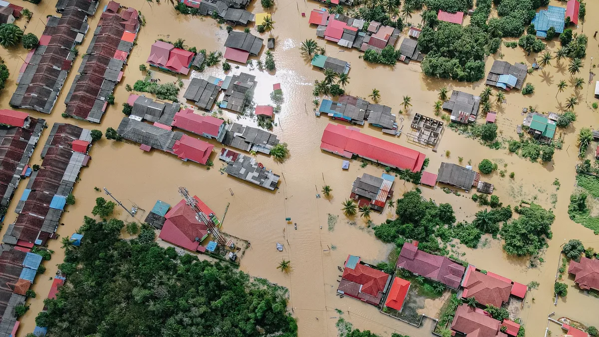
Global study reveals uneven urban land sinking rates
A new global analysis of satellite data shows major cities worldwide are sinking at vastly different rates, with parts of Mexico City and Bandung, Indonesia, experiencing the most rapid subsidence, posing significant risks to urban infrastructure.
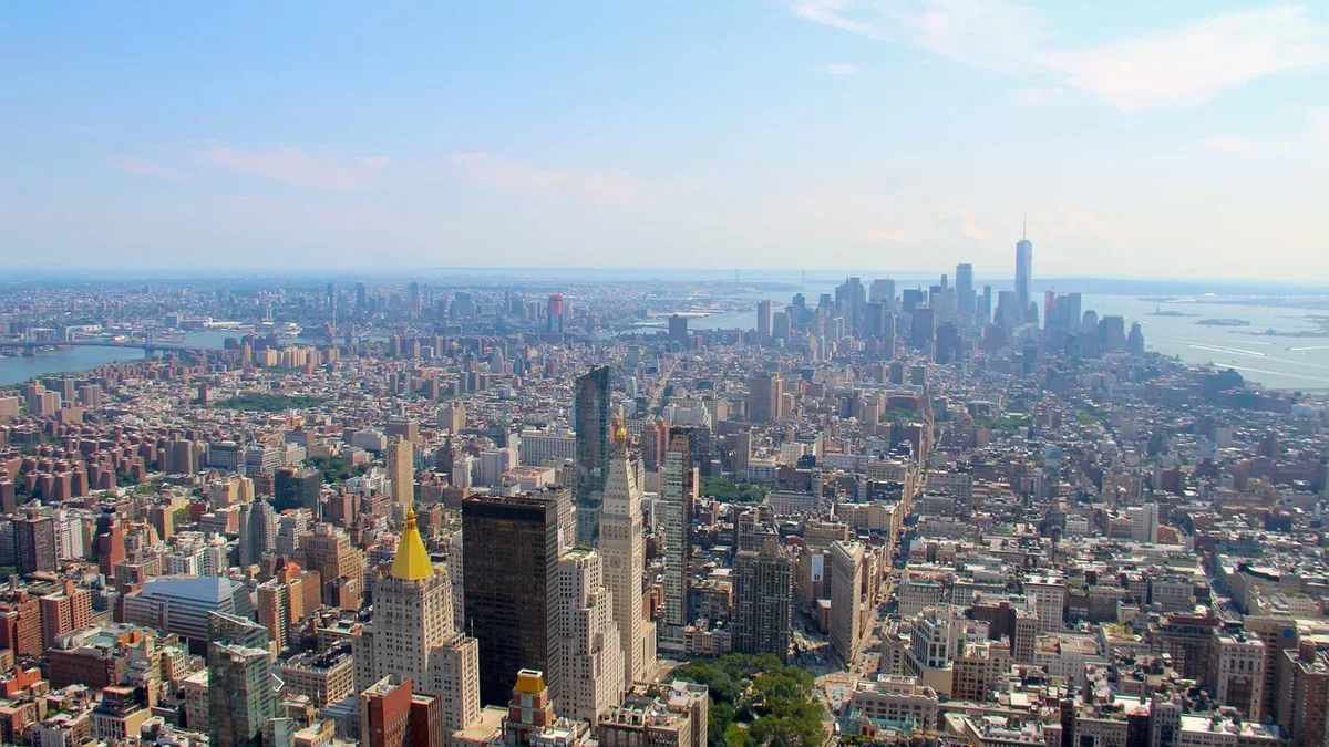
A global urban land subsidence study has identified significant variation in sinking rates across major cities worldwide, with some sinking much faster than others. The research, led by Shengli Tao and Xie Hu of Peking University and their colleagues, analyzed satellite radar data from 2014 to 2023 across 465 cities in 107 countries.
Parts of Mexico City recorded the fastest localized sinking at approximately 217 millimeters per year. The citywide median sinking rate there was 8 millimeters per year. Other cities showed substantial median rates, while many major global hubs experienced far slower movement. The findings provide a consistent global picture of a critical environmental threat.
| City | Citywide Median Sinking Rate (mm/year) |
|---|---|
| Medan, Indonesia | 33 |
| Bandung, Indonesia | 22 |
| Torreón, Mexico | 17 |
| Isfahan, Iran | 11 |
| Mexico City, Mexico | 8 |
Annual land movement in Boston, New York City, London, Beijing, Tokyo, Seoul, Sydney, Montevideo, and Naples ranged from just 0.1 to 1.9 millimeters per year.
Causes and broader context of urban subsidence
Land subsidence results from both natural processes and human activities like groundwater use, with serious implications for infrastructure and flood risk. The gradual sinking of land can threaten buildings, roads, and drainage systems while increasing vulnerability to flooding. Natural soil and sediment compaction plays a role, but excessive groundwater pumping is a major human contributor. In some regions, groundwater regulations and replenishment efforts have successfully reduced sinking rates. This study offers a more comprehensive view than past research, which often focused on a few cities or used inconsistent methods, and it includes under-researched regions in South America, Africa, and Russia.
Study methodology and limitations
Researchers used high-resolution satellite radar data from 2014 to 2023 to measure relative local land subsidence in large cities with populations exceeding one million. The nine-year study focused on 465 urban centers. However, the research may exclude sinking areas beyond official administrative boundaries. Measurements also carry greater uncertainty in regions where ground-station coverage is sparse, highlighting a gap in global monitoring networks.
Implications and need for ongoing monitoring
Continued observation is essential to track trends, assess risks, and guide policy responses to protect urban areas. Shengli Tao, Xie Hu and colleagues said their findings are published in the journal Nature Cities. The authors noted that continued monitoring could confirm whether these trends persist and support targeted responses. Such sustained satellite observation could help policymakers evaluate interventions, inform mitigation strategies, and identify early warning signs of threats to infrastructure and communities.