AI Explains Great Lakes Water Level Swings from Past Weather
A new AI analysis of 40 years of Great Lakes data reveals water levels are driven by weather and human decisions from months prior, not only current conditions, improving forecast accuracy for flood and water management.
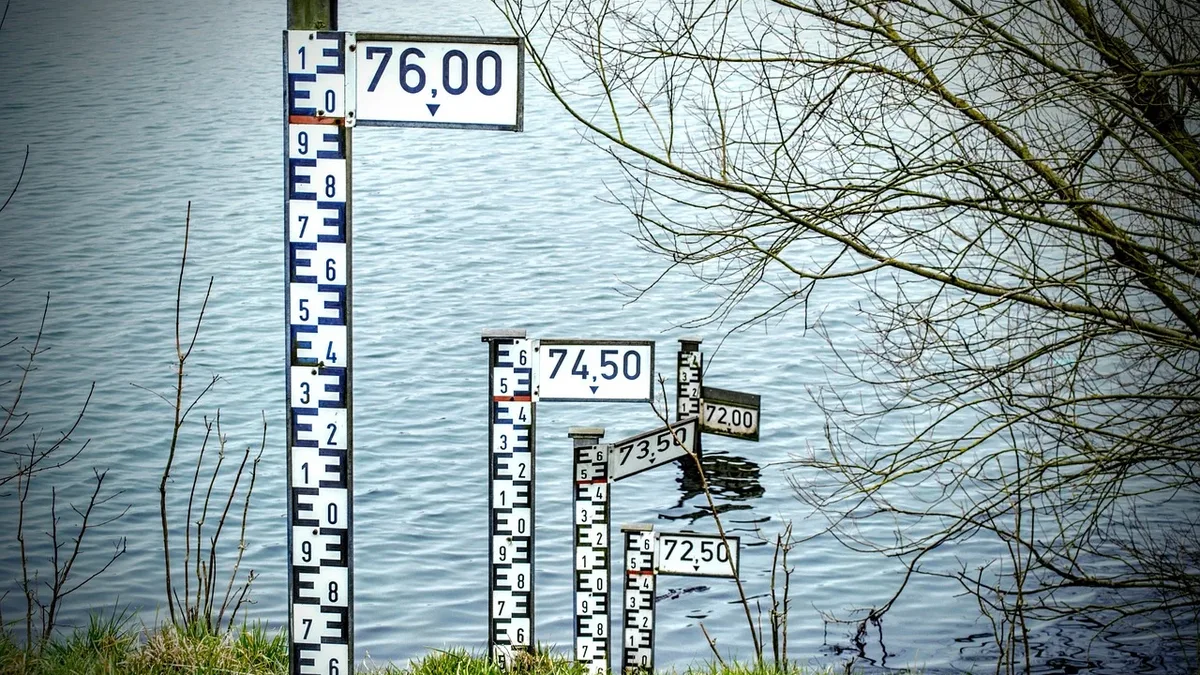
Lake Michigan hit record lows in January 2013 and record highs in the summer of 2020, causing widespread flooding and erosion. Lakes Superior, Erie, and Ontario experienced similar rapid water level reversals around the same time, with Lake Michigan's swing measuring nearly two meters between the two extremes. As climate extremes drive these record swings, understanding the delayed impacts of weather and dam operations is critical for flood protection and water management.
AI model uncovers delayed influences on water levels
Researchers analyzed 40 years of fluctuations in Great Lakes water levels from 1982 to 2022. They trained eight algorithms on monthly data from Lakes Superior, Michigan, Erie, and Ontario, incorporating nine variables like air temperature and inflow rates for the current month and up to six months prior. For the four best-performing algorithms, prediction error dropped to about a dozen centimeters. The team used SHapley Additive exPlanations (SHAP) values and Variogram analysis of response surfaces (VARS) to measure each variable's contribution and its lagged impact.
The researchers expected variable influence to fade quickly, like a downpour's effect in a river. Instead, influence increased after three or four months. Rahim Barzegar et al said: "Our conclusion: A lake does not react to yesterday's weather, but to the previous season's."
Lake-specific dynamics reveal modeling challenges
Each Great Lake responds differently to environmental forces. Lakes Superior and Michigan are large, slow-moving basins fed by snowmelt runoff. Shallow Lake Erie depends heavily on inflow from upstream via the Detroit River. Lake Ontario is significantly impacted by evaporation and by regulation at the Moses-Saunders Power Dam near Cornwall, Ont., where operators adjust outflows daily.
The model's error was more than 50 percent higher than expected for Lake Ontario. This is because the model used single monthly values for variables, losing the sequence of human decisions behind the dam's average outflow. When extra water is released for downstream protection despite no immediate climate need, the model sees an unexplained water level drop. This highlights a boundary between climate-driven changes and collective human decisions.
Interpretable AI bridges prediction and action
Most AI models in environmental science cannot explain their predictions. This study used tools to both predict and explain water level variations. The simplest models had errors of 14 to 21 centimeters. While SHAP identifies responsible variables, it does not show signal travel time. Together, SHAP and VARS identify both the variables and their time lags.
An interpretable model is a prerequisite for AI to become a legitimate tool in water management. It allows for verifying, discussing, and challenging AI outputs for decisions like dam operation or drinking water source protection. Rahim Barzegar et al said: "The goal was not just to predict water levels, but to use AI to explain what causes them to vary."
Toward better dam operations and climate adaptation
The solution is to provide dam operating rules to the model as input data, just like rain or snow data, so algorithms do not base decisions on erroneous information. Researchers are now working with Ouranos, the Québec consortium on regional climatology and climate change adaptation, to apply the interpretable AI approach to groundwater recharge in southern Québec using a physics-based model.