Nepal's flood exposure surged 46% as valleys developed
Built-up area in Nepal exposed to potential flooding grew by 46% from 2016 to 2023, putting nearly 300,000 people at risk in Himalayan valleys that channel both development and glacial lake outbursts.
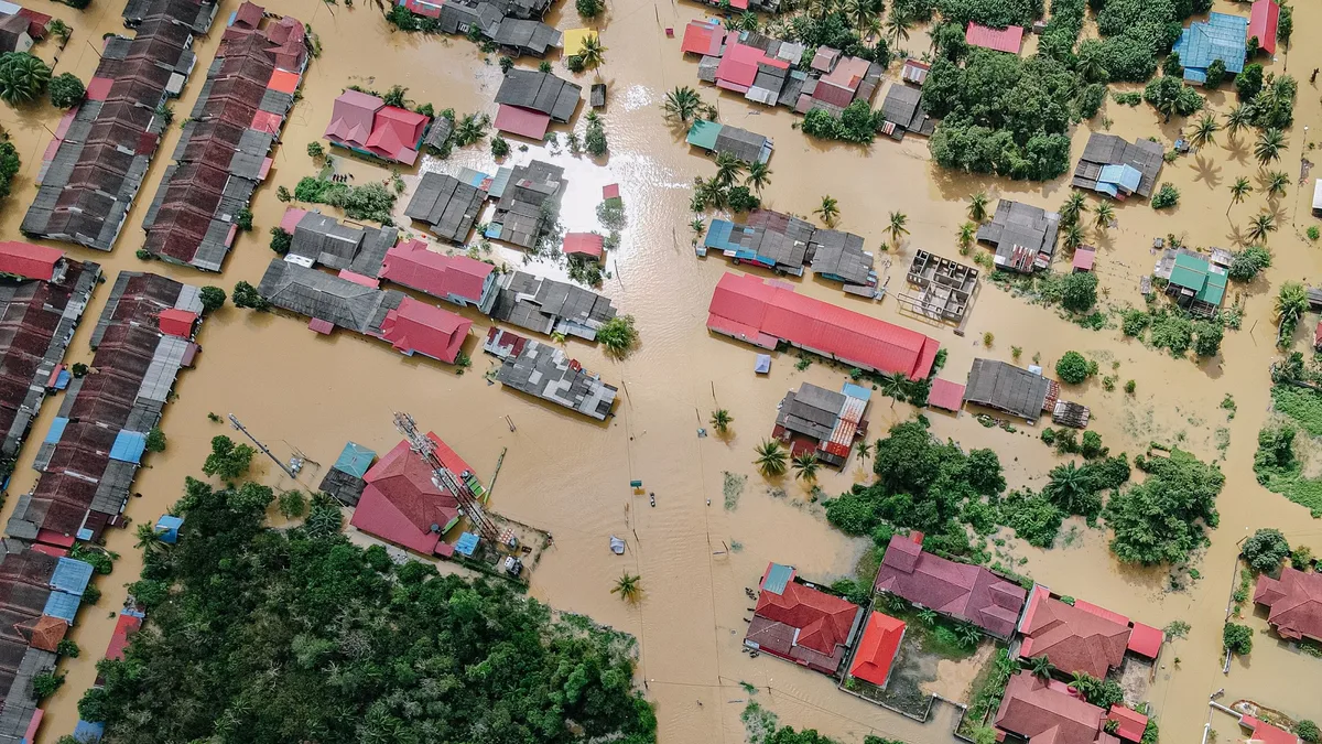
A rock and ice avalanche triggered a catastrophic flood on August 26 that devastated Nepal’s primary trade route to China, killing and displacing thousands. The disaster struck the steep Bhotekoshi-Trishuli river valley.
Exposure to flooding has grown rapidly in recent years
Between 2016 and 2023, the built-up areas potentially exposed to flooding increased by 46% in the region covering Nepal and the catchment areas of rivers that drain into Nepal. C. Scott Watson noted, "Between 2016 and 2023, the built-up areas potentially exposed to flooding increased by 46%." Across the Nepalese Himalayas, almost 300,000 people now live in flood-prone areas. More than 100,000 of them live downstream of glacial lakes.
Why valleys concentrate both development and danger
The same flat, accessible valley floors that attract roads, settlements and infrastructure also channel floods, debris flows and glacial lake outbursts. Glacial lakes form in depressions carved by retreating glaciers and can breach suddenly, sending floodwaters down steep valleys. As trade and tourism grow, these natural corridors attract new roads, tracks, lodges, and hydropower projects. Once a road connects a valley, other development often follows, including homes, schools and healthcare facilities.
New screening tool reveals where people are most exposed
Researchers used satellite data and the 'height above nearest drainage' metric to map flood exposure growth and identify hotspots in steep, data-scarce valleys. The study combined this metric with satellite-derived building data to track changes. In steep mountain valleys, two locations may be only a short distance apart horizontally but separated by tens of metres vertically, resulting in very different flood exposure. This approach does not replace detailed flood hazard mapping but offers a simple screening tool to identify exposure hotspots where detailed data is lacking.
Managing risk requires looking beyond the hazard itself
Flood risk depends not only on glacial melt and landslides but also on where people live, building quality, and preparedness-factors often overlooked in Himalayan studies. Climate change is making some Himalayan hazards more dangerous. Disaster risk is also shaped by where people live and work. Exposure to flood waters is only one component of risk; building type, early warning systems, preparedness and evacuation planning also influence whether a hazardous event becomes a disaster. Scientists have historically focused more on hazard causes, like melting glaciers and monsoon rains, than on the exposure of people and infrastructure.
Identifying high-exposure areas and integrating that knowledge into land and infrastructure planning could prevent new developments from becoming future disaster zones. The study does not claim floods are inevitable everywhere or that all river-adjacent development should stop. The authors urge integrating exposure mapping into planning to guide resilient development.