SWOT satellite monitors water levels in Asia's irrigation
NASA's SWOT satellite can now track water levels across most of Asia's vast canal network, offering a new tool for managing water and food security for
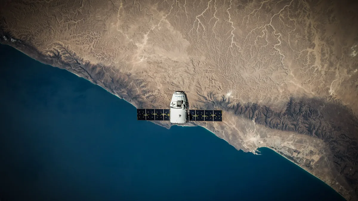
A NASA satellite can measure water levels with moderate to high confidence at more than 85% of locations across roughly 800,000 kilometers of irrigation canals in Asia. Researchers from the University of Washington overlaid radar data from the Surface Water and Ocean Topography (SWOT) satellite, launched in December 2022, onto the Global Registry of Agricultural Irrigation Networks (GRAIN) map to detect elevation changes.
The study, a proof of concept across 22 Asian countries, analyzed data from nearly half a million miles of canals. More than eight in every ten kilometers of canal could be monitored with at least moderate confidence. The breakdown of observability across the studied network is shown below.
| Observability Level | Percentage of Canals |
|---|---|
| Highly Observable | 37.5% |
| Moderately Observable | 46.9% |
| Poorly Observable | 15.6% |
Canal characteristics determine monitoring confidence
The highest-confidence measurements occurred in wider, well-organized canals with smooth slopes and open surroundings. Dense vegetation around canals emerged as the primary obstacle to accurate readings. Irrigation canals are frequently narrower than 20 meters, and surrounding vegetation scatters and absorbs the satellite's radar energy, obscuring the water surface. This limitation is likely most significant in tropical and subtropical regions.
Technology supports improved water management and food security
This advancement offers a major tool for water management in regions where irrigation supports roughly 3 billion people. SWOT-powered tools could help farmers monitor water levels, detect unexpected drops or stagnation, and understand seasonal delivery patterns. The technology could improve drought preparedness, strengthen food security, and help map humanity's impact on the global freshwater cycle.
Faisal Hossain, a UW professor of civil and environmental engineering and study co-author, stated the discovery may represent a fundamentally new way of managing water conveyance systems. For example, a rice farmer might switch to corn or wheat if SWOT data shows insufficient water arrival.
Global canal registry and validation underpin the method
The research built on the 2025 GRAIN map, which used open-source data and machine learning to chart 3.8 million kilometers of canal networks worldwide. The team, led by UW graduate research assistant Mridul Sharma, validated the satellite's confidence levels by comparing its data to real canal measurements taken in the United States.
The research team is now building operational systems using SWOT data to monitor and improve water delivery in South Asia and aid canal management in the western United States.